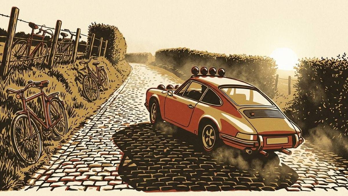
The Flemish Ardennes are not the Ardennes. They are a compact patch of hills south of Ghent, between Oudenaarde and Ronse, where the plain of Flanders wrinkles up for about twenty kilometres and then flattens out again. Nothing here is higher than 150 metres.
What makes it interesting is the density. Because the hills are small, the roads that cross them were never straightened, because there was no need, so you get a network of lanes that climb, turn, drop, and climb again every couple of kilometres. You can do sixty kilometres here and not have two hundred metres of straight road in a row. For a car with more corners than power, that is close to ideal.
It is also, famously, where the Tour of Flanders is decided each spring. That means the good roads are already documented, signposted, and, the part that matters for us, surfaced in cobbles about a third of the time.
The shape of a loop
The obvious base is Oudenaarde, which has the Tour of Flanders museum, a market square you can park on outside market hours, and roads out in every direction. A satisfying loop runs roughly:
South-west out of town towards Kluisbergen and the Kluisberg, then west along the ridge to Ronse; north-east from Ronse through the Muziekbos and over the Kruisberg; then a wandering return north over the Paterberg and Koppenberg back into Oudenaarde. Sixty to seventy kilometres depending on how much you meander, and easily three hours if you stop.
That is deliberately vague about specific lanes, because half the pleasure here is that the network is dense enough to improvise in and small enough that you cannot get properly lost. Take the turning that looks better. You will end up somewhere reasonable.
The Kluisberg and the ridge to Ronse
The Kluisberg climbs out of the Scheldt valley and gives you the first proper view. On a clear day you can see a very long way across flat country, which is the whole appeal of a 140-metre hill in Flanders. The ridge road west towards Ronse runs along the language border and through a run of villages with the kind of wide market squares that suggest they were once more important than they are now.
The Muziekbos
North-east of Ronse, and the best twenty minutes of the loop. The Muziekbos (the "music wood") is old beech forest on a slope, and the lane through it is narrow, damp, dark and continuously turning. It feels a great deal more remote than it is. Take it slowly; the surface is patchy under the trees and there are walkers.
The climbs everyone has heard of
The Koppenberg and the Paterberg are the famous ones, and here is the honest advice: they are cobbled, they are steep (the Koppenberg touches 22%), and they are far better to look at than to drive up.
These are not decorative cobbles. They are irregular field stones with grass in the joints, laid on a gradient, usually wet under the trees. In a modern car it is unpleasant. In an older car with a low nose and no ground clearance to spare it is a genuinely bad idea, and in the wet you will simply lose traction and stop, on a 20% slope, in a narrow lane.
Drive to the bottom, look up it, take the photograph, and go round. If you want cobbles, the Oude Kwaremont is the one to do: longer, far shallower, better laid, and it goes through a village rather than up a farm track. That is a cobbled climb you can enjoy rather than survive.
Practical notes
- Sunday mornings from March to October, expect cyclists. A lot of them, often in groups of thirty, on exactly these roads. This is their home. Be patient, leave room, and consider going on a weekday.
- Watch the tractors. Working farmland, single-track lanes, blind crests. Assume something wide is coming over every one of them.
- The surfaces change constantly. Fresh tarmac, worn tarmac, concrete slabs with tar joints, cobbles, and gravel where a field entrance has spilled onto the lane. Nothing here rewards commitment on an unseen corner.
- Fuel and coffee in Oudenaarde or Ronse. In between, the villages are small and may offer one café that closes on Mondays.
Why this drive suits a roadbook
It is precisely the kind of route that maps apps handle badly and a roadbook handles well.
The junction density is the reason. On a loop like this you will meet a decision point every kilometre or two, most of them at four- or five-way crossings between hedges where every exit looks the same. That is a lot of turns to get right, and reading a map at each one means stopping. It is also, in navigation terms, a loop, since you finish where you started, so asking a maps app to plan it is asking a question with no answer.
Record it once, badly, taking wrong turns and doubling back. Get home, trim the mistakes, and you have a file. Next time the book reads it back to you at the wheel, and you can spend the whole afternoon looking at the country instead of at the phone.
If you want to see what one of these files becomes before you record your own, the sample loop is a 45.7 km ring in the real Ardennes, and the printed roadbook is what it turns into on paper.